Flood & Waterborne Threats
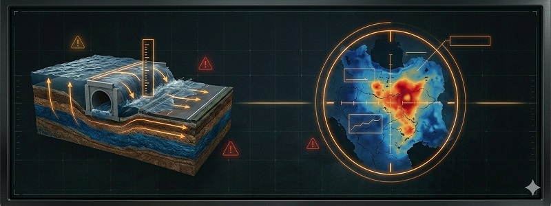
🌊 Flash Flood Warnings (Immediate Kinetic Threat)
Flash Flood Warning issued July 27 at 11:10PM EDT until July 28 at 12:15AM EDT by NWS Gaylord MI
CRITICALInundation Zones: Crawford, MI; Kalkaska, MI
Flash Flood Warning issued July 27 at 7:07PM MST until July 27 at 8:45PM MST by NWS Tucson AZ
CRITICALInundation Zones: Pima, AZ
Flash Flood Warning issued July 27 at 7:56PM MDT until July 27 at 10:00PM MDT by NWS Salt Lake City UT
CRITICALInundation Zones: Wayne, UT
🚧 Logistical Impairment & Road Closures
ROUTE STATUSTurn Around, Don't Drown. As little as 12 inches of moving water can sweep an average automotive asset off the roadway. Monitor the live crowdsourced tactical routing matrix below for localized impassable corridors.
🏞️ Riverine & Areal Floods (Strategic Asset Threats)
Flood Watch issued July 27 at 9:01PM MDT until July 28 at 9:00PM MDT by NWS Albuquerque NM
Flood WatchBasins: Northwest Highlands; West Central Plateau; West Central Mountains; West Central Highlands; Southwest Mountains; San Francisco River Valley; Jemez Mountains; Glorieta Mesa Including Glorieta Pass; Southern Sangre de Cristo Mountains; East Slopes Sangre de Cristo Mountains; Santa Fe Metro Area; Sandia/Manzano Mountains Including Edgewood; Far Northeast Highlands; Northeast Highlands; San Agustin Plains and Adjacent Lowlands
Active Until: Jul 28 — 08:15 EDT
Flood Warning issued July 27 at 8:00PM CDT until July 29 at 6:12AM CDT by NWS Corpus Christi TX
Flood WarningBasins: La Salle, TX
Active Until: Jul 28 — 12:00 EDT
Flood Warning issued July 27 at 8:00PM CDT by NWS Corpus Christi TX
Flood WarningBasins: McMullen, TX
Active Until: Jul 28 — 12:00 EDT
Flood Warning issued July 27 at 8:00PM CDT by NWS Corpus Christi TX
Flood WarningBasins: Live Oak, TX
Active Until: Jul 28 — 12:00 EDT
🛡️ CRP Flood Protocols
Waterborne Pathogens
Floodwaters systematically breach municipal sewage grids. Treat all inundated environments as biologically contaminated. Enforce strict filtration and boiling protocols for all consumable water.
Perimeter Fortification
Geometrical sandbag stacking theories, poly-sheeting deployment, and securing subsurface foundational vents.
Asset Elevation
Pre-impact relocation protocols for heavy generators, fuel reserves, and primary broadcast/communications hardware.